Softpilot

Hand-drawn routes

Fly small. Notice everything.

Aircraft, horizons, and the particular color of light at 3,000 feet.

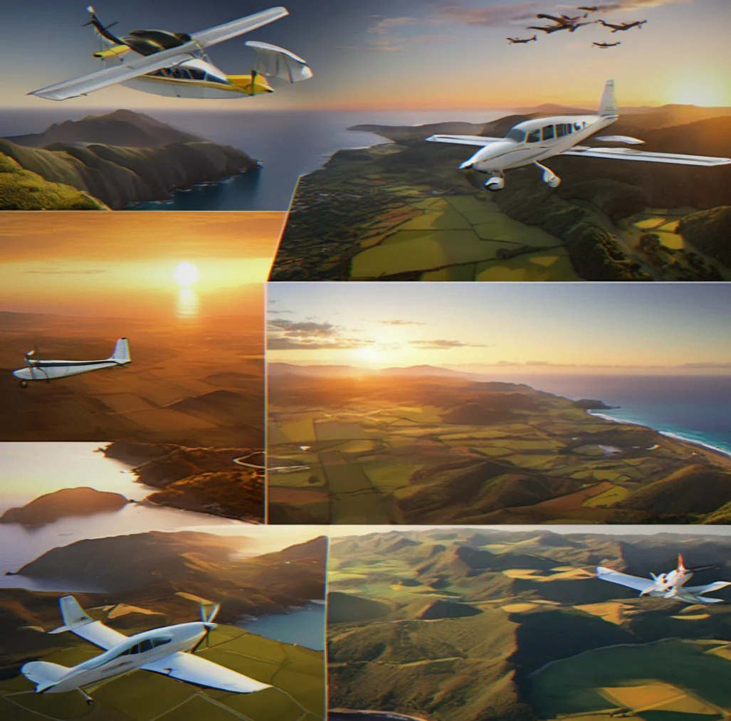
Softpilot is structured around routes—real, specific paths mapped by hand across actual geography—flown in Cessna-scale aircraft. The goal isn't to beat a time or unlock something. The goal is to be there: watching thermal clouds form over a coastal ridge, spotting a fire lookout tower you didn't expect, landing on a grass strip with mountains rising directly behind the runway.

This is aviation stripped to what attracted people to flying in the first place. No timers. No ranks. No destinations you're racing toward. Just 30 to 90 minutes of unrushed discovery in places you've never seen before.

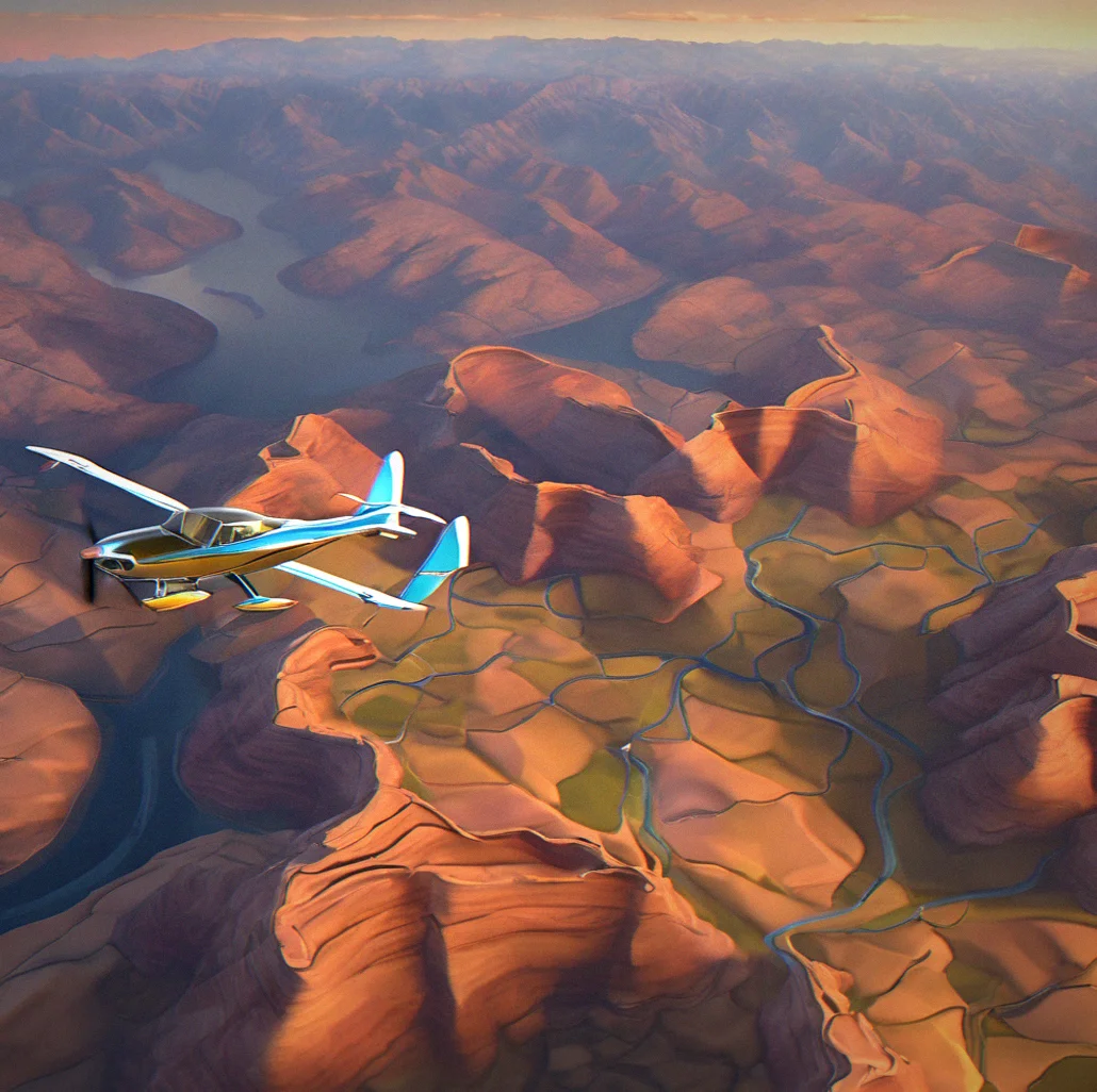
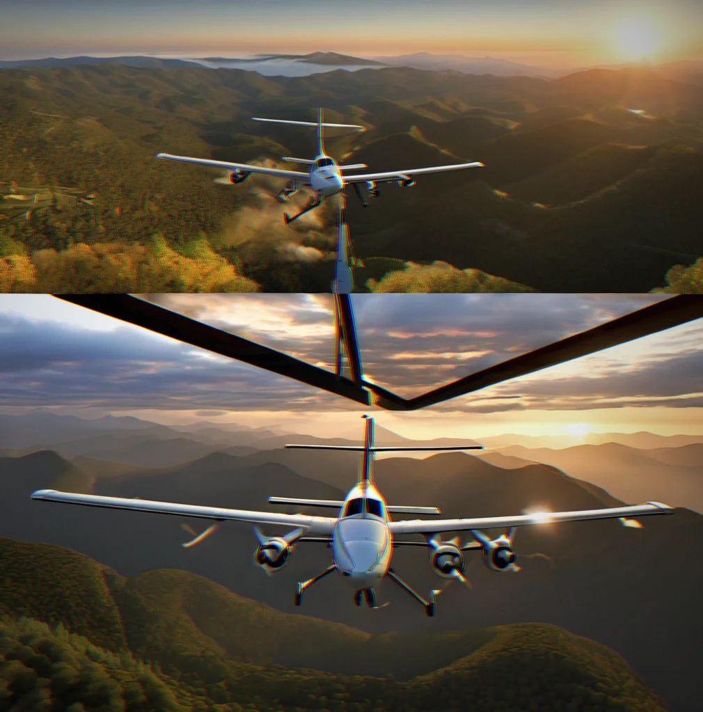
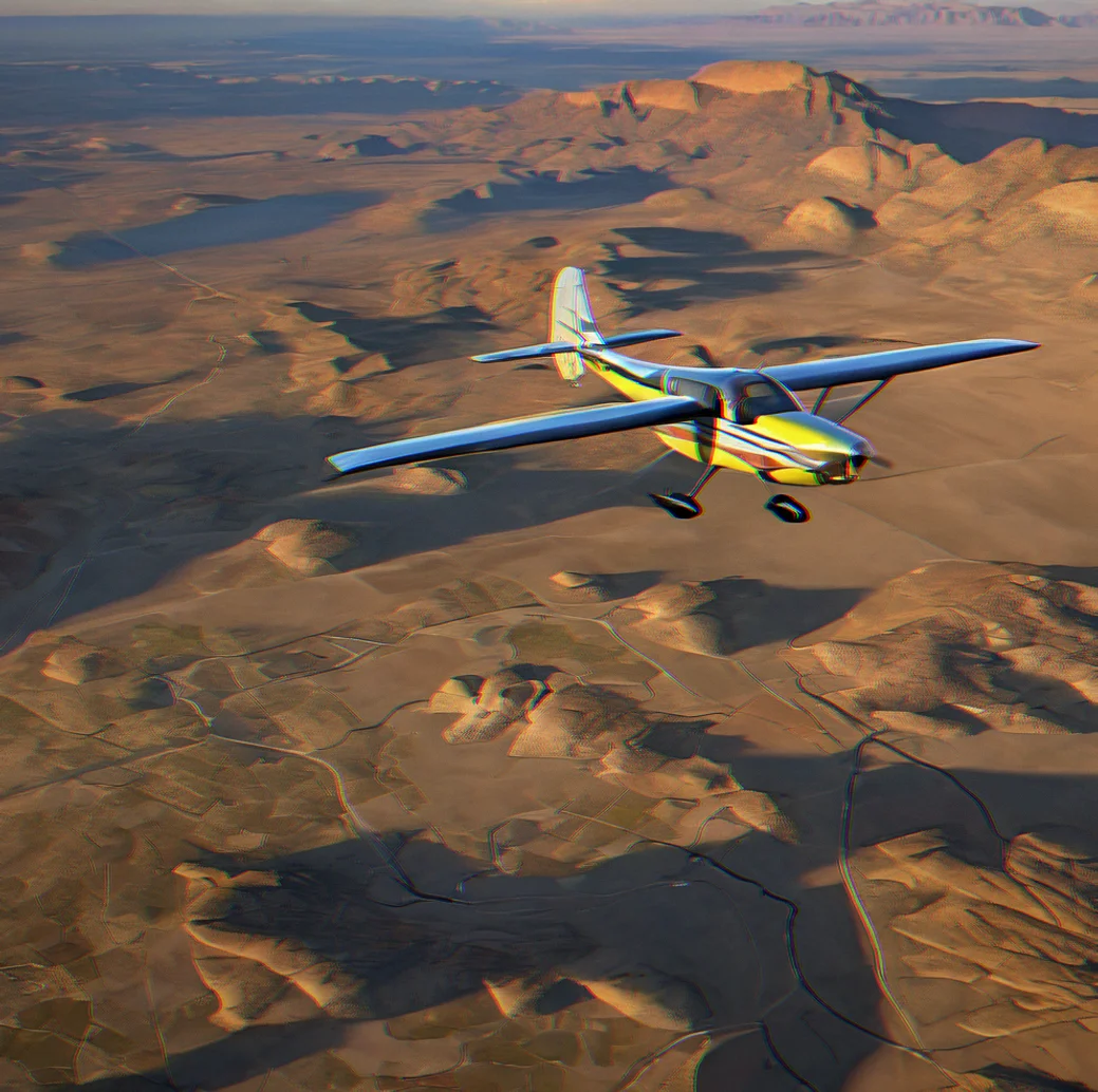
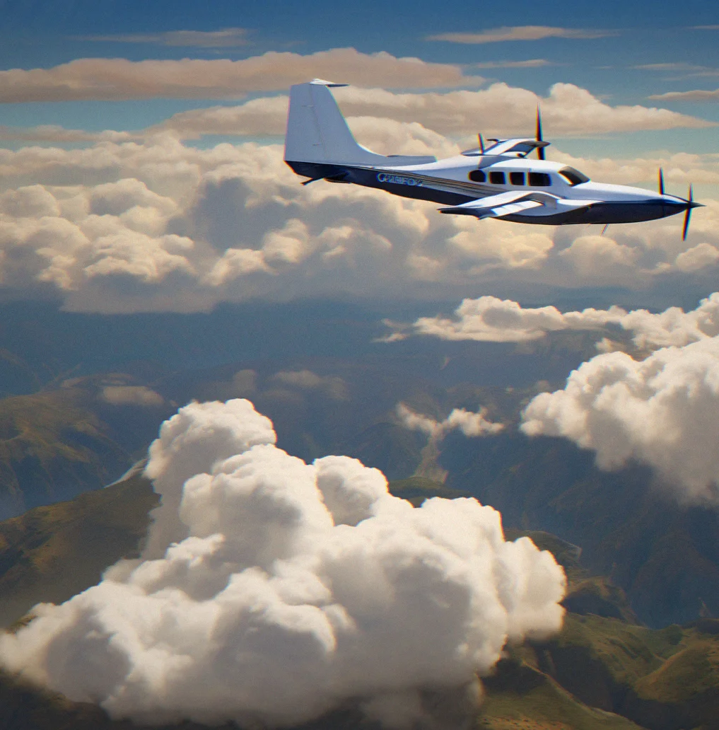
Cessna aircraft banking over a desert canyon at sunset with golden light across sandstone ridges
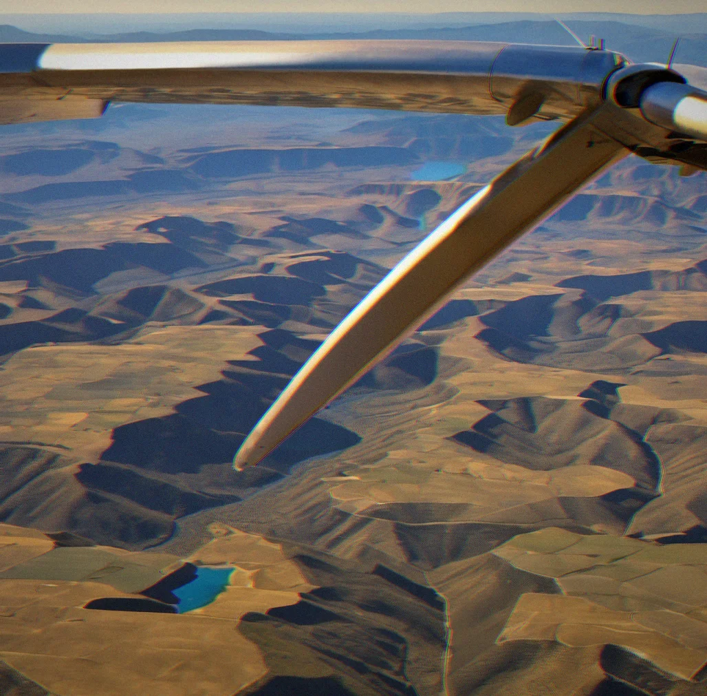
Cessna 172 wing strut visible with high desert basin stretching to distant blue mountains under clear afternoon light
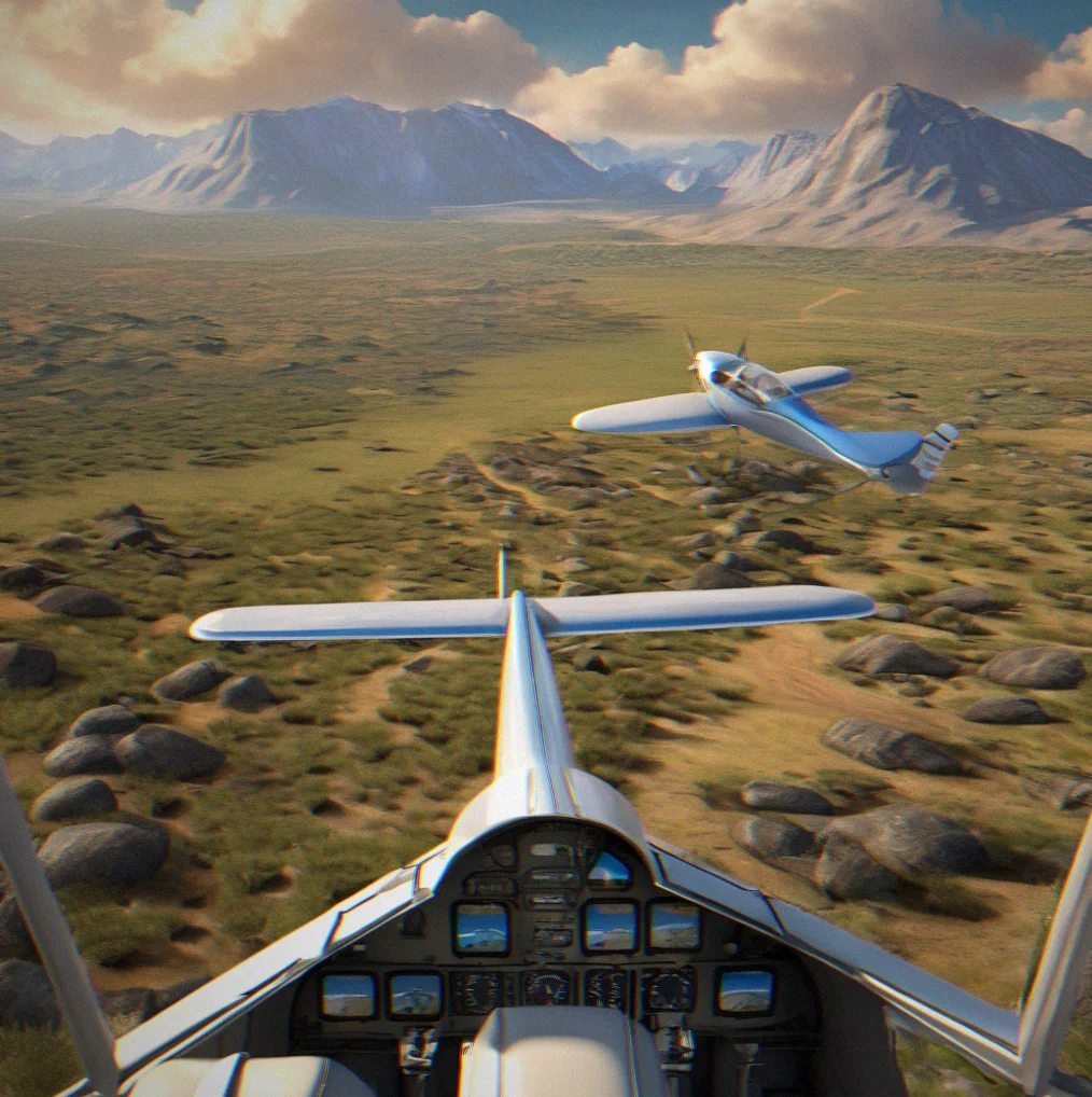
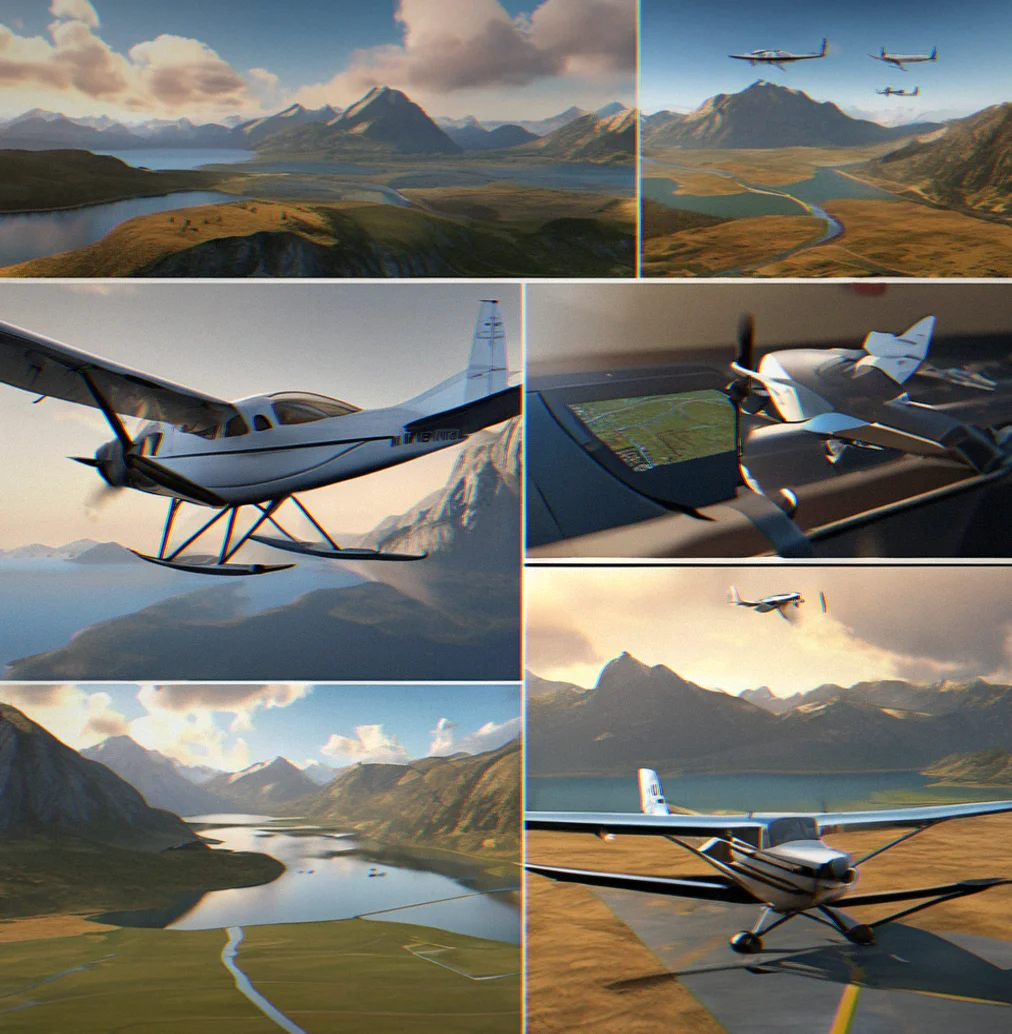
Grass airstrip cutting through sage brush with granite peaks rising sharply on the northern approach
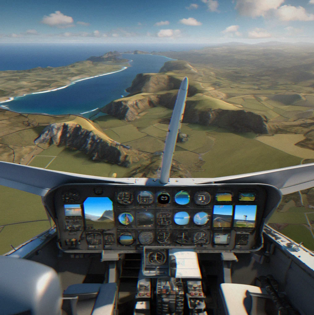
Cockpit view of propeller arc with coastal ridge line and Pacific Ocean layered in blue-grey bands below
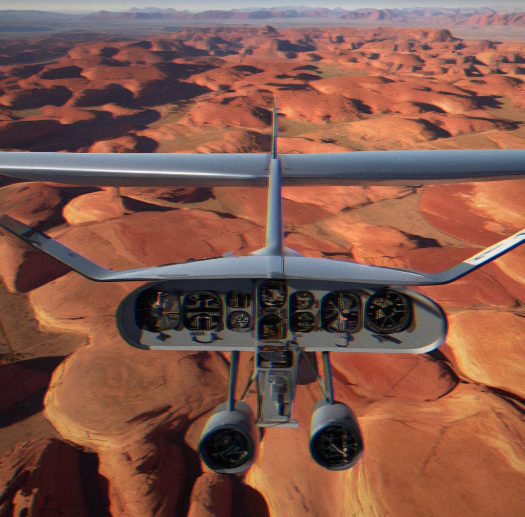
Shadow of aircraft moving across red rock formations with parallel ridges creating geometric patterns
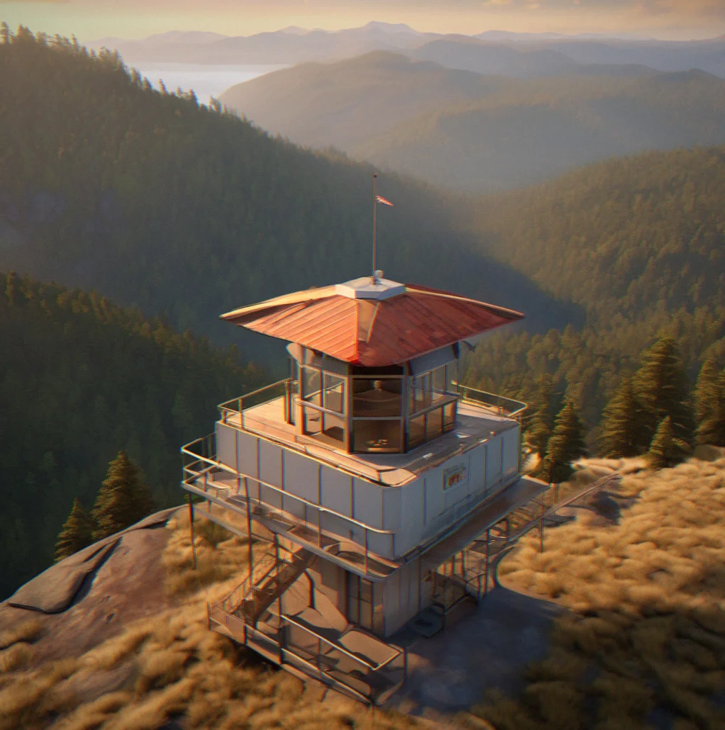
Fire lookout tower on isolated ridge with forested slopes falling away into a valley filled with afternoon haze
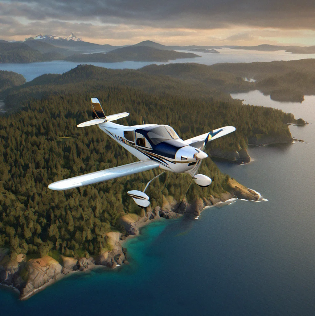
Island-hopping route over San Juan Islands with water channels between forested islands and mainland peaks in distance
Thermal clouds forming in layers above a canyon system with light and shadow creating natural contour lines
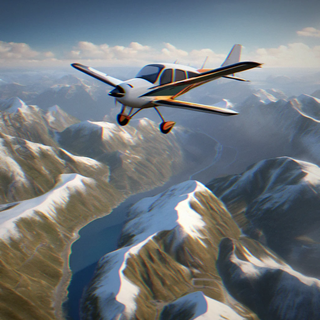
High elevation mountain pass with snow patches visible in shaded ravines and aircraft yoke framing the approach
Dawn light breaking across eastern slopes with shadows stretching westward across forested ridgeline
Runway threshold markers visible with mountains rising directly behind landing zone and alpine lake reflecting sky nearby
123

Real terrain, real routes

30 flights we actually mapped out. High deserts, coastal approaches, mountain passes, island chains. Every route tracks real landmarks and the weather patterns that actually matter.

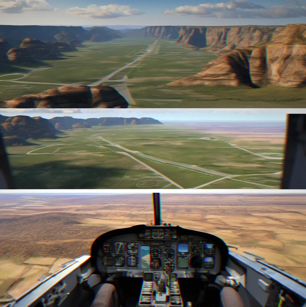
Cockpit view of Cessna approaching a narrow canyon with striped rock walls rising on both sides and a grass runway visible at canyon floor

Canyon crossing with thermal updrafts, about 47 minutes

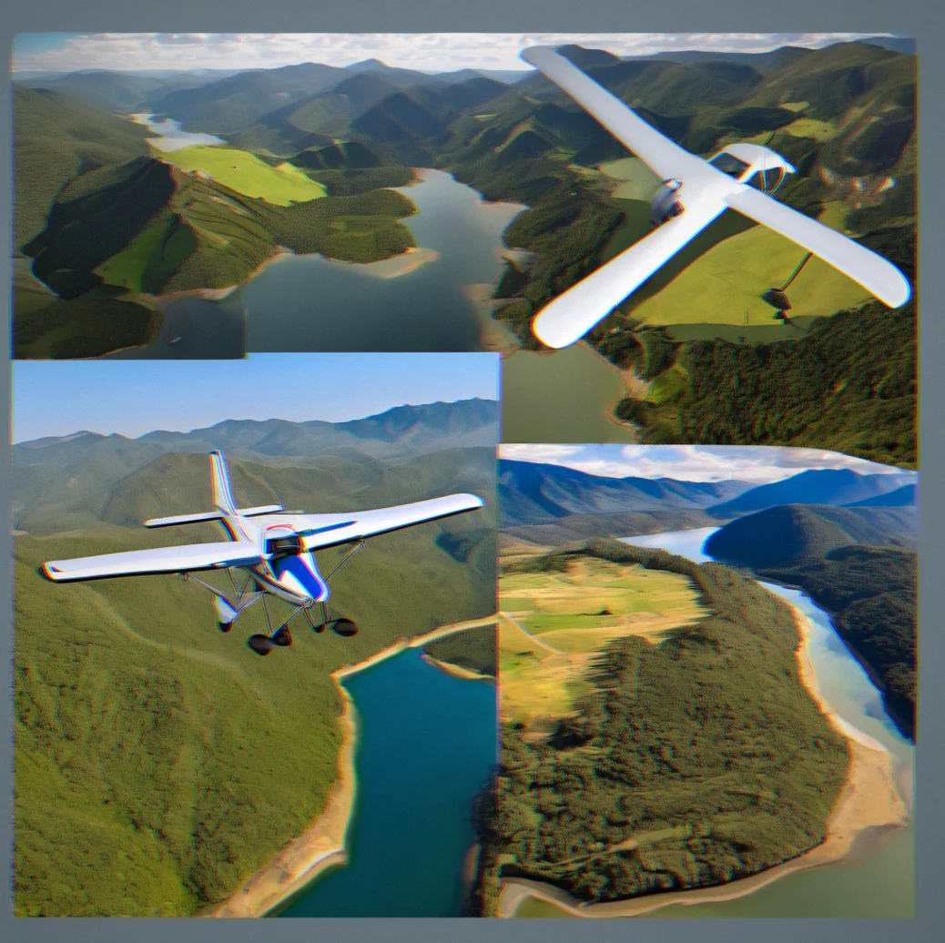
Aerial view of interconnected mountain lakes with forested slopes and a small aircraft shadow moving across reflective water surface

Hit 4 different airstrips in just over an hour through the alpine lakes

Sunset approach over coastal ridge with ocean stretching to horizon and landing lights visible on small airstrip nestled in coastal valley

Seaside descent with plenty of grass runway to work with

Dawn light across high desert basin with buttes casting long shadows and aircraft banking toward distant mountain pass at 8,500 feet

Early morning flight across the basin, landmark buttes marking the way

What you get

Routes drawn by hand, not spat out by an algorithm

Someone actually mapped these across real terrain. Take the crossing from Sedona to the Grand Canyon's North Rim—it's about 47 minutes and follows specific buttes, specific ridgelines, specific wind patterns. No procedural generation. No algorithmic surprises. Just geography that actually exists and matters.

Small aircraft that actually behave like aircraft

You're flying Cessna-scale planes. Not commercial jets. The 172 you're in has weight, it has momentum. Crosswinds actually affect you. The stick responds slowly and deliberately. And it doesn't demand perfection from you—just that you pay attention.

No timers, no ranks, no pressure

Fly whenever you want. Land however you want. Restart as many times as you need without any penalty hanging over you. The whole point is that you're not trying to beat anything.

Around 30 routes to start, more coming

Coverage across the American West—high deserts, coastal approaches, mountain passes, island chains. Most flights run somewhere between 20 and 90 minutes. Flight notes and approach briefings come with each one. They're not infinite, but everything here is built, not generated.

The specifics

What Softpilot actually is, and what it isn't.

Small aircraft, real physics

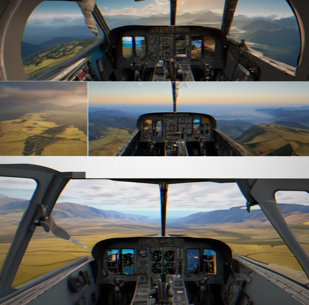
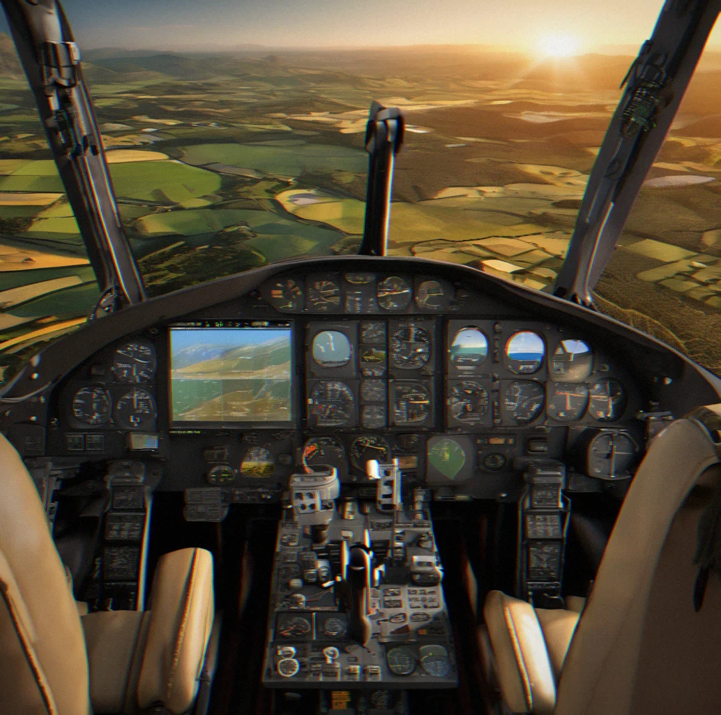
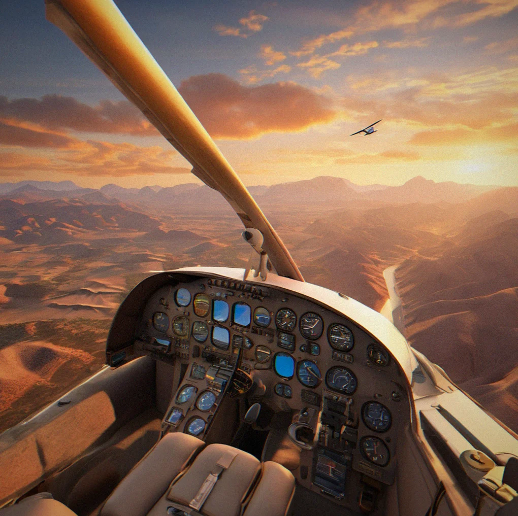
Interior of small aircraft cockpit showing yoke, throttle, and windscreen view of mountain terrain

You're flying a Cessna 172—not a commercial jet, not a study-level sim. The plane has weight. Crosswinds push you around. Climb rate depends on density altitude. The controls respond with deliberate slowness. It obeys physics without demanding mastery.

Routes you can study

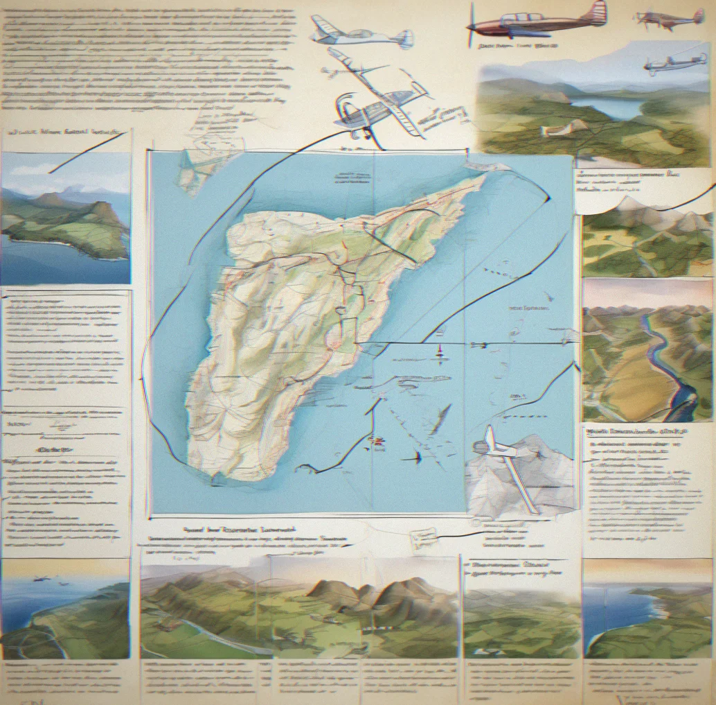
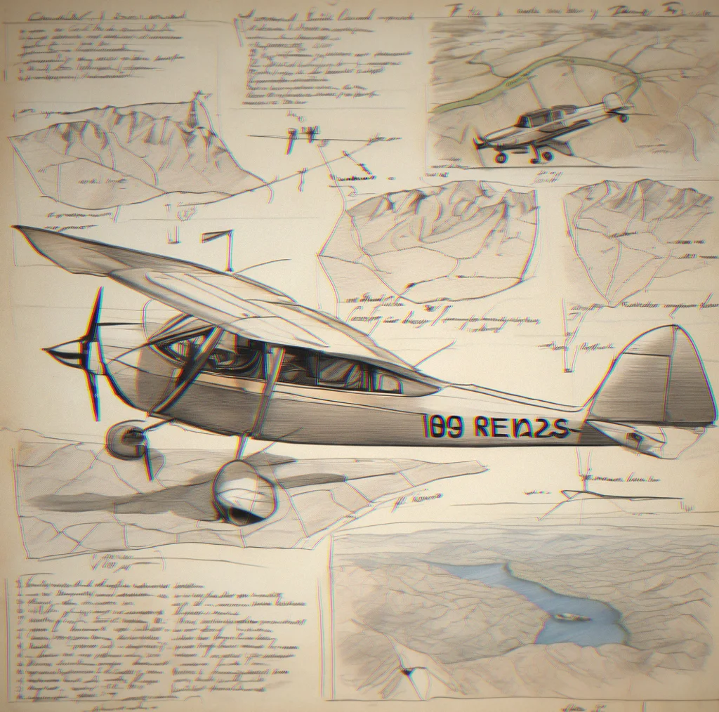
Paper flight plan with handwritten notes and topographic map showing highlighted route corridor

Each route comes with flight notes. Landmarks to watch. Approach briefings. Wind behavior at landing zones. Real information. No surprises hidden in procedural generation.

No timers. No ranks.

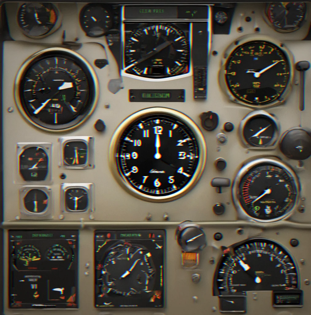
Analog clock face on instrument panel showing steady passage of time without urgency

Fly at your pace.

30 routes at launch, American West focus

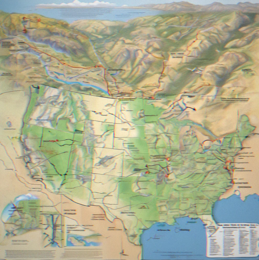
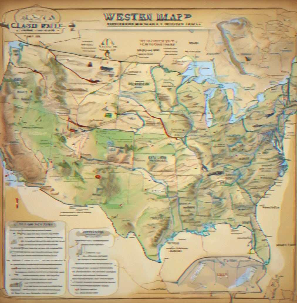
Regional map of western United States with marked airstrip locations and route corridors highlighted

High deserts, coastal approaches, mountain passes, island chains. Each route takes 20 to 90 minutes. Coverage expands post-launch. Not infinite, but hand-crafted—that's the difference.

What flying looks like here

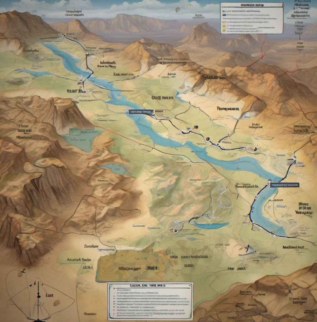
Topographic map with hand-drawn route marked across desert terrain and labeled waypoints

30 routes mapped by hand

No procedural generation. Each route follows actual terrain, actual landmarks, actual wind patterns that matter. A 47-minute Sedona crossing hits specific buttes. A 23-minute island route touches 4 different grass strips.

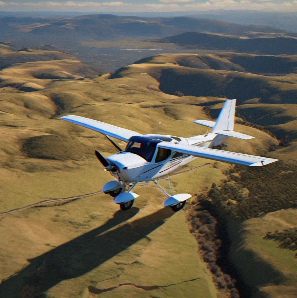
Overhead view of single-engine aircraft casting shadow on terrain during low-altitude flight

Cessna 172. Small and deliberate.

Weight matters. Momentum matters. Crosswinds push you around. The stick responds with slowness—not arcade speed, not study-sim complexity. Just a plane that obeys physics.

Aircraft instrument panel with analog clock showing passage of time during unrushed flight

20 to 90 minutes per flight

Long enough to notice things. Short enough to fit into a day. No artificial time pressure. Sit with the view. Land imperfectly. Restart without penalty.

Cumulus clouds building vertically over mountain ridge with aircraft banking into thermal updraft

Thermal clouds, ridge lift, wind shear

Real weather behavior. Real wind behavior. The air moves. You learn to read it. Thermals form over sun-warmed ridges. Downdrafts hide in valleys. It's not random—it's atmospheric.

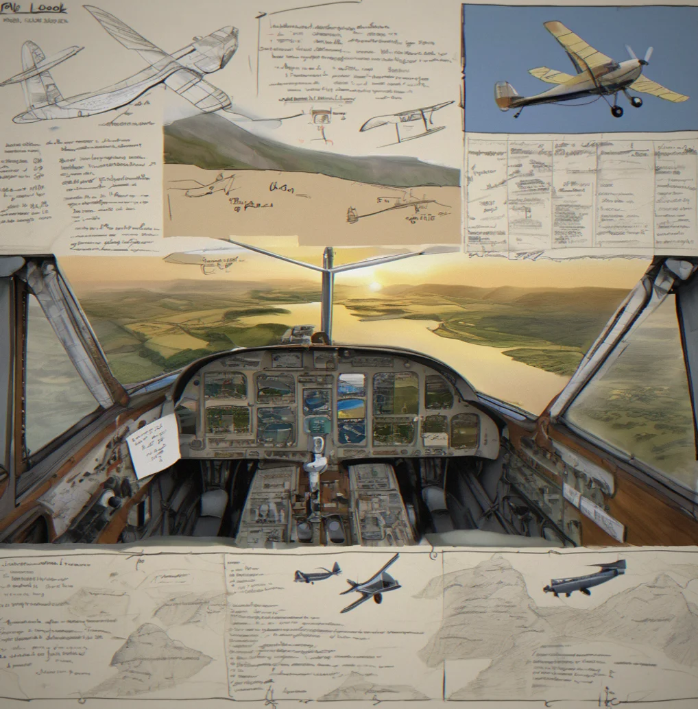
Handwritten flight notes on paper with pencil sketches of terrain features and wind annotations

Flight notes with each route

What you're likely to see. Approach angles. Wind behavior at landing zones. Elevation and runway length. Not a checklist. A guide. Written by people who flew these routes and wrote down what mattered.

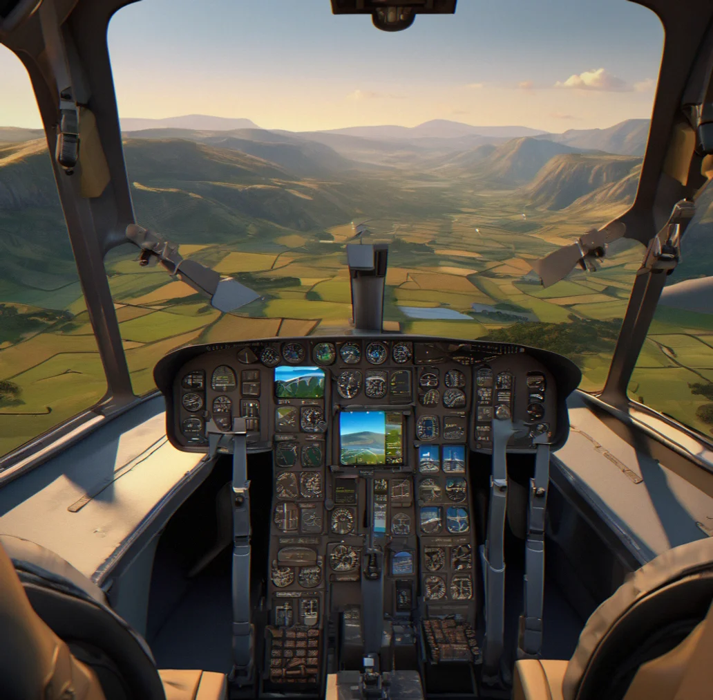
Quiet cockpit interior with minimal instrumentation and clear view of peaceful valley landscape

No ranks. No timers. No screaming.

Silence. Silence. That's the design.

Regional map of western United States showing clustered airstrip markers and route corridors

High deserts, mountains, coastal approaches

American West coverage at launch. Sedona to Grand Canyon. San Juan Islands. Tetons at dawn. Big Sur at sunset. Routes are crafted around geography that means something meaningful.

Pilot's logbook lying open with handwritten flight notes and sketched landmarks from recent flights

Discovery is the mechanic

Not achievement. Not progression. You fly a route you've never flown before. You notice the light at 4,000 feet. You see a fire lookout you didn't expect. You land and make a note about what caught your eye. That's it.

How this works

What you're actually doing when you fly a Sofptilot route.

Real aircraft behavior without the bureaucracy

The Cessna 172 feels heavy. Controls have lag. Climb rate changes with density altitude. Crosswinds push you sideways and you have to correct for it. You're learning how a small plane actually flies. No radio calls, no weight-and-balance sheets, no pre-flight checklists.

Routes with briefing documents

Flight notes. Approach briefing. Wind patterns. Landmarks to look for. Everything's documented before you take off so there's no guessing. What you see is what was planned.

20 to 90 minutes

Long enough to get into it. Short enough to finish. No filler.

Thermals, ridge lift, downdrafts

Air behaves like air at this scale. Thermals rise over sun-baked slopes. Mountains push air up along their faces. Valleys hide sinking air. It's not random. It's something you can predict once you understand the terrain.

No progression or achievements

You fly. You land. You notice things. That's the point. The flight matters, not some number going up. The mechanic is paying attention.

30 hand-mapped routes in the American West

Desert canyons. Coastal approaches. Mountain passes at sunrise. High deserts, island chains, real terrain. Built deliberately, not generated.

What you're flying

01

Real routes, hand-drawn

30 routes at launch, each mapped across actual terrain. A 47-minute crossing from Sedona follows specific ridgelines and real wind patterns. A 23-minute island route touches 4 grass strips with distinct approach angles. Not procedurally generated—geography that means something.

02

Cessna 172 physics without the training burden

Does flying feel heavy? Yes. Does it respond slowly? Yes. Do you need to memorize radio phraseology or calculate weight-and-balance? No. The plane obeys physics. You learn by flying, not by studying a manual.

03

Quiet discovery, not achievement grinding

No timers. No ranks. No unlock systems. You fly a route. You notice the light. You land. The satisfaction comes from being there—from seeing something you didn't know existed until you flew over it.

04

Flight notes you can actually read

Each route includes approach briefings, wind behavior, landmarks, and elevation data. Written by people who flew the routes and wrote down what mattered. Not a checklist. A guide.

Common questions

Before you fly

These are questions people actually ask us. If yours isn't listed here, just reach out at info@softpilot.space.

Not really. The physics feel authentic—weight and momentum matter, crosswinds affect you. But you're not grinding through radio callouts or calculating weight-and-balance numbers. It sits somewhere in the middle. Realistic enough that you'll pick up genuine insights about how small aircraft actually respond, but streamlined so you're flying for the enjoyment of it, not chasing a license.

For now it's the 30 that ship with the game. Each one's been hand-mapped over real terrain with flight notes and approach briefings built in. So yeah, you're not looking at infinite variety, but everything that's there was put there deliberately. More routes are coming down the road.

You just restart. No penalties hanging over you, no clock resetting. The whole Point is to explore and Learn, not to punish yourself. Fly into a mountain, figure out what went wrong, give it another shot. I've seen people spend nearly half an hour wrestling with a single approach just to get it right.

Anywhere from 20 minutes to an hour and a half depending on which one you pick. Most people knock them out in a single session. And yeah, you can pause whenever—it'll be right where you left it. If you want to restart a landing attempt, go ahead. Fly however works for you.

NEWS

Route updates and new flights land in your inbox first.

We'll send you notes when new routes launch, occasional flight logs from the team, and nothing else. No marketing. No spam. Just the routes.

You're on the list. New routes incoming.